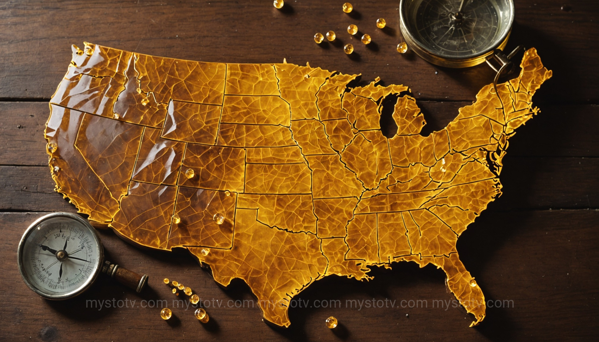
For generations, the deep woods and remote mountains of North America have echoed with tales of a large, ape-like creature known as Bigfoot or Sasquatch. More than just a campfire story, this enduring legend is supported by thousands of eyewitness accounts. For researchers, enthusiasts, and the curious, the challenge has always been to find patterns within these disparate stories. This is where the modern bigfoot sightings map becomes an indispensable tool, transforming anecdotal evidence into a compelling visual database. An interactive bigfoot sightings map doesn't just show where the creature was spotted; it provides a data-rich landscape for analyzing one of the greatest mysteries of our time. This article will delve into these maps, explore the creature's most frequented territories, interpret the fascinating data they reveal, and guide you on how to explore this cryptozoological atlas for yourself.
Contents
- 1 Understanding the Modern Bigfoot Sightings Map
- 2 North American Hotspots: Analyzing the Bigfoot Sightings Map
- 3 Interpreting the Data: What the Bigfoot Sightings Map Reveals
- 4 Evidence Beyond the Dots on a Bigfoot Sightings Map
- 5 How to Use and Contribute to a Bigfoot Sightings Map
- 6 Conclusion: The Enduring Mystery of the Bigfoot Sightings Map
Understanding the Modern Bigfoot Sightings Map
Gone are the days of sticking pins into a paper map on a dusty wall. A contemporary bigfoot sightings map is typically a dynamic, interactive online database. Organizations like the Bigfoot Field Researchers Organization (BFRO) have pioneered this approach, meticulously compiling and vetting thousands of reports from across the continent. These maps serve as the central nervous system for the Bigfoot research community, allowing for a level of data analysis that was previously impossible.
From Folklore to Geodata: The Evolution of Tracking
The method of tracking Sasquatch has evolved dramatically. What began as oral traditions passed down through Indigenous cultures and settlers' tales of "wild men" in the woods eventually transitioned to written accounts in local newspapers. In the 20th century, dedicated researchers began compiling these accounts into case files. The digital age, however, marked the most significant leap. By geolocating each credible report with GPS coordinates, researchers could suddenly visualize the phenomenon on a continental scale. This shift from scattered stories to a structured geodatabase is the single most important development in the modern study of this elusive cryptid.
What Data Populates a Bigfoot Sightings Map?
Each point on a detailed bigfoot sightings map represents far more than a simple location. It's a gateway to a rich repository of information. A typical report, classified and added to the map by organizations like the BFRO, includes crucial details that allow for deeper analysis. These data points often include the precise date and time of the encounter, the county and state, a detailed narrative from the witness, and a classification of the sighting. Reports are categorized into different classes: a Class A report usually involves a clear, prolonged visual of the creature, while a Class B report might involve footprints, vocalizations, or fleeting glimpses. This classification system adds a layer of credibility and allows researchers to filter the map based on the quality of the evidence, making it a powerful scientific tool rather than just a collection of stories.
North American Hotspots: Analyzing the Bigfoot Sightings Map
A quick glance at any comprehensive bigfoot sightings map reveals an immediate, striking pattern: the sightings are not random. Instead, they form distinct clusters, creating veritable hotspots of cryptid activity. These concentrations are not just geographical quirks; they offer profound insights into the potential habitat, behavior, and survival needs of the creature. Analyzing these hotspots is the first step in understanding the bigger picture painted by the map.
The Pacific Northwest: The Undisputed Epicenter
It's impossible to discuss Bigfoot without focusing on the Pacific Northwest. Washington state consistently leads all other states and provinces in the sheer number of credible reports, with Oregon and Northern California following closely behind. This region, characterized by its vast, dense, and often inaccessible temperate rainforests, is the historical heartland of the Sasquatch legend. The abundance of water sources, diverse food supplies (from vegetation to wildlife), and rugged terrain offering year-round cover make it a theoretically perfect environment for a large, reclusive primate to thrive undetected. It was here, in Bluff Creek, California, that the iconic 1967 Patterson-Gimlin film was shot, cementing the region's status in Bigfoot lore. The map data strongly reinforces that if Sasquatch exists, this is its primary stronghold.
The Appalachian Mountains and the East Coast Corridor
Stretching from northern Georgia to Maine, the Appalachian Mountains represent the second major hotspot on the bigfoot sightings map. While the forest type differs from the Pacific Northwest, the key environmental factors are similar: vast tracts of wilderness, mountainous terrain, and plentiful resources. States like Ohio, Pennsylvania, and West Virginia show surprisingly high concentrations of sightings. The analysis here suggests that the creature is not exclusive to the western rainforests. The rich folklore of "wild men" and "hairy beasts" in Appalachian history provides a deep cultural context for these modern reports, suggesting a long-term presence in the Eastern United States.
The South and the Skunk Ape Enigma
Venturing south, the map highlights a unique hotspot centered on Florida, with activity spilling into neighboring states. Here, the creature often goes by a different name: the Skunk Ape, so-called for its reputed foul odor. The habitat is drastically different—impenetrable swamps and subtropical wetlands like the Everglades and Big Cypress National Preserve. The map shows that these swampy, inaccessible regions serve the same purpose as the dense mountain forests of the north: they provide a sanctuary. The Skunk Ape sightings suggest a regional adaptation of the species, capable of thriving in a hot, humid environment, which adds another layer of complexity to the Bigfoot phenomenon.
The Midwest and Great Lakes Region
Often overlooked, the Midwest and Great Lakes states like Michigan, Wisconsin, and even Illinois boast significant clusters on the bigfoot sightings map. This challenges the common assumption that Bigfoot is solely a creature of deep mountains or swamps. Many sightings in this region occur in smaller national forests, state parks, and along major river systems like the Mississippi and Ohio Rivers. This pattern suggests that these creatures may use river valleys as travel corridors, allowing them to move between fragmented patches of forest. The data here forces a re-evaluation of what constitutes a suitable habitat, indicating a highly adaptable species.
Interpreting the Data: What the Bigfoot Sightings Map Reveals
Moving beyond simply identifying hotspots, the true power of a bigfoot sightings map lies in interpreting the patterns it displays. By analyzing the relationships between sighting locations and environmental factors, we can begin to formulate hypotheses about the creature's behavior, biology, and lifestyle. This is where cryptozoology attempts to apply scientific principles to the study of a legendary creature.
Correlation with Water Sources and Terrain
One of the most consistent patterns revealed by the map is the proximity of sightings to water sources. Clusters frequently appear along rivers, creeks, and lakes. This makes perfect biological sense, as any large animal would require consistent access to fresh water. Furthermore, sightings often occur along ridges and the edges of forests, bordering on farmland or sparse human settlement. This suggests a creature that uses the deep woods for cover but may venture to the periphery to forage or observe, a classic "edge habitat" behavior seen in many known wildlife species.
Population Density vs. Sighting Frequency
A common skeptical argument is that sightings are simply a function of human population density—more people mean more chances for misidentification. However, the bigfoot sightings map offers a compelling counter-argument. While some sightings occur near populated areas, the most intense hotspots are often in counties with vast wilderness areas and relatively low human populations. For example, Washington's Skamania County is a world-famous hotspot but has a very small population. The correlation seems to be less with the number of residents and more with the number of people engaging in outdoor recreation like hiking, hunting, and fishing in remote areas. It is the intersection of human activity and ideal creature habitat that generates reports.
Seasonal Patterns and Migration Theories
Advanced analysis of map data, when filtered by date, can reveal potential seasonal patterns. Some researchers have noted spikes in sightings during the fall in certain regions, which could correspond with deer hunting season (more observers in the woods) or a pre-winter foraging push by the creatures themselves. In mountainous regions, some theorize a form of vertical migration, with the creatures moving to lower elevations during harsh winters. While still speculative, these are the kinds of testable hypotheses that a well-maintained bigfoot sightings map makes possible.
Evidence Beyond the Dots on a Bigfoot Sightings Map
Every pin on a bigfoot sightings map represents a story, but many of those stories are accompanied by compelling physical and sensory evidence. This evidence provides crucial context and credibility to the geographic data, transforming a location into an event. Understanding the types of evidence associated with these sightings is key to appreciating the depth of the mystery.
Physical Evidence: Footprints and Hair Samples
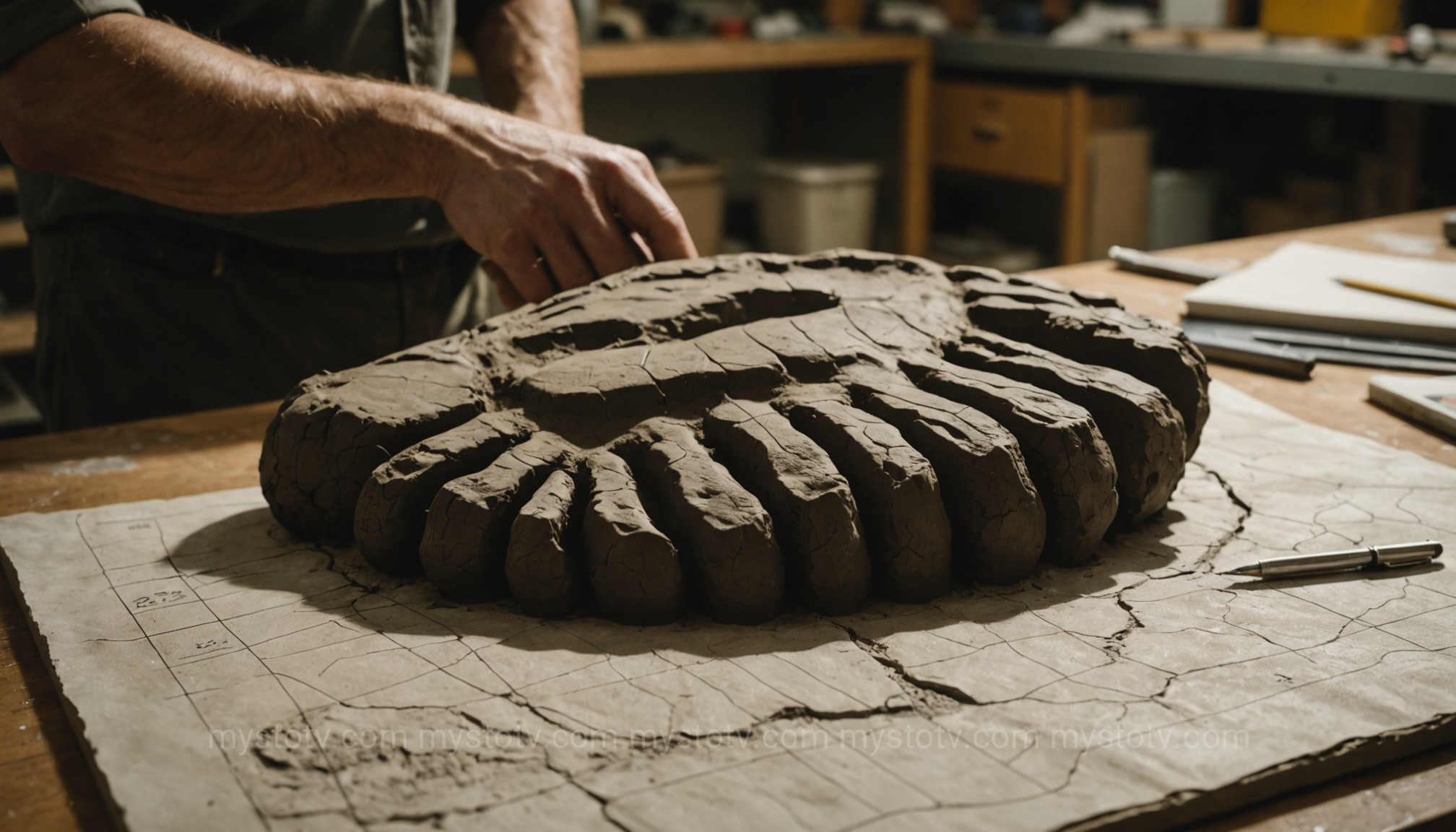
The most iconic form of evidence is the footprint. Plaster casts taken from locations across the continent show a creature with a large, flat foot, often displaying features like a midtarsal break not found in humans. Some of these tracks have even shown evidence of dermal ridges (fingerprints for the feet), making them incredibly difficult to hoax. In addition to tracks, hair samples have been collected from sighting locations. While many turn out to be from known animals, a handful have yielded DNA results that are ambiguously primate, or simply "unknown."
Auditory Evidence: The Famous "Ohio Howl"
Many reports on the map are not visual but auditory. Witnesses describe incredibly powerful howls, screams, and "whoops" that are unlike any sound made by known North American wildlife. Audio recordings, such as the famous "Ohio Howl" from 1994, have been subjected to spectrographic analysis. Experts have noted the immense power, complex frequency, and non-human phonetic structure of these sounds, suggesting they originate from a creature with massive lung capacity and unique vocal anatomy.
Visual Evidence: From Patterson-Gimlin to Modern Dashcams
While often blurry or fleeting, visual evidence remains the holy grail. The 1967 Patterson-Gimlin film remains the most debated and analyzed piece of footage, with many biomechanics experts arguing that the subject's gait and musculature would be nearly impossible to fake with the technology of the era. In the modern day, the proliferation of high-definition trail cameras, drone footage, and vehicle dashcams has led to a new wave of visual evidence that continues to fuel the debate and add new, intriguing data points to the ever-growing map.
How to Use and Contribute to a Bigfoot Sightings Map
A bigfoot sightings map is not just for professional researchers; it is a public resource that invites exploration and participation. Whether you are a curious skeptic or a dedicated enthusiast, learning how to navigate and contribute to these databases can be a fascinating endeavor. It allows you to become part of the search and to understand the phenomenon in your own local area.
Most online sighting maps, like the one hosted by the BFRO, offer powerful filtering tools. You can explore the data by state or province, zoom in on your own county, and read the full reports associated with each pin. A great way to start is to look for clusters in areas you are familiar with. You can filter by year to see if activity is recent or historical, and by report class to focus on the most compelling encounters. Analyzing these hotspots on the bigfoot sightings map can provide a deeper understanding of the regional patterns you might discover.
Reporting a Sighting: Best Practices
If you believe you've had an encounter, contributing your experience is vital. The most important step is to document everything immediately, while it's fresh in your mind. Note the exact date, time, and location (GPS coordinates if possible). Write down every detail: what you saw, heard, and even smelled. Describe the creature's appearance, size, and behavior. Take photos of any potential evidence like footprints (with an object for scale, like a dollar bill). Once you have your information compiled, you can submit it to a reputable organization. Their investigators will typically conduct a follow-up interview to vet the report before adding it to the public database.
Conclusion: The Enduring Mystery of the Bigfoot Sightings Map
The bigfoot sightings map has evolved from a simple novelty into a powerful tool for investigation. It demonstrates that reports of a giant, unknown primate in North America are not just random, isolated events. Instead, they form distinct, compelling patterns that correlate with specific habitats, terrains, and even seasons. The map provides a logical framework for a phenomenon that defies easy explanation, highlighting hotspots from the dense rainforests of Washington to the murky swamps of Florida. It allows us to ask more intelligent questions and formulate more plausible theories about the creature's existence. Whether you are a firm believer, a staunch skeptic, or simply curious about the world's hidden corners, the bigfoot sightings map offers a unique and data-driven window into one of North America's most profound and enduring legends. The search continues, and the map is our guide.
