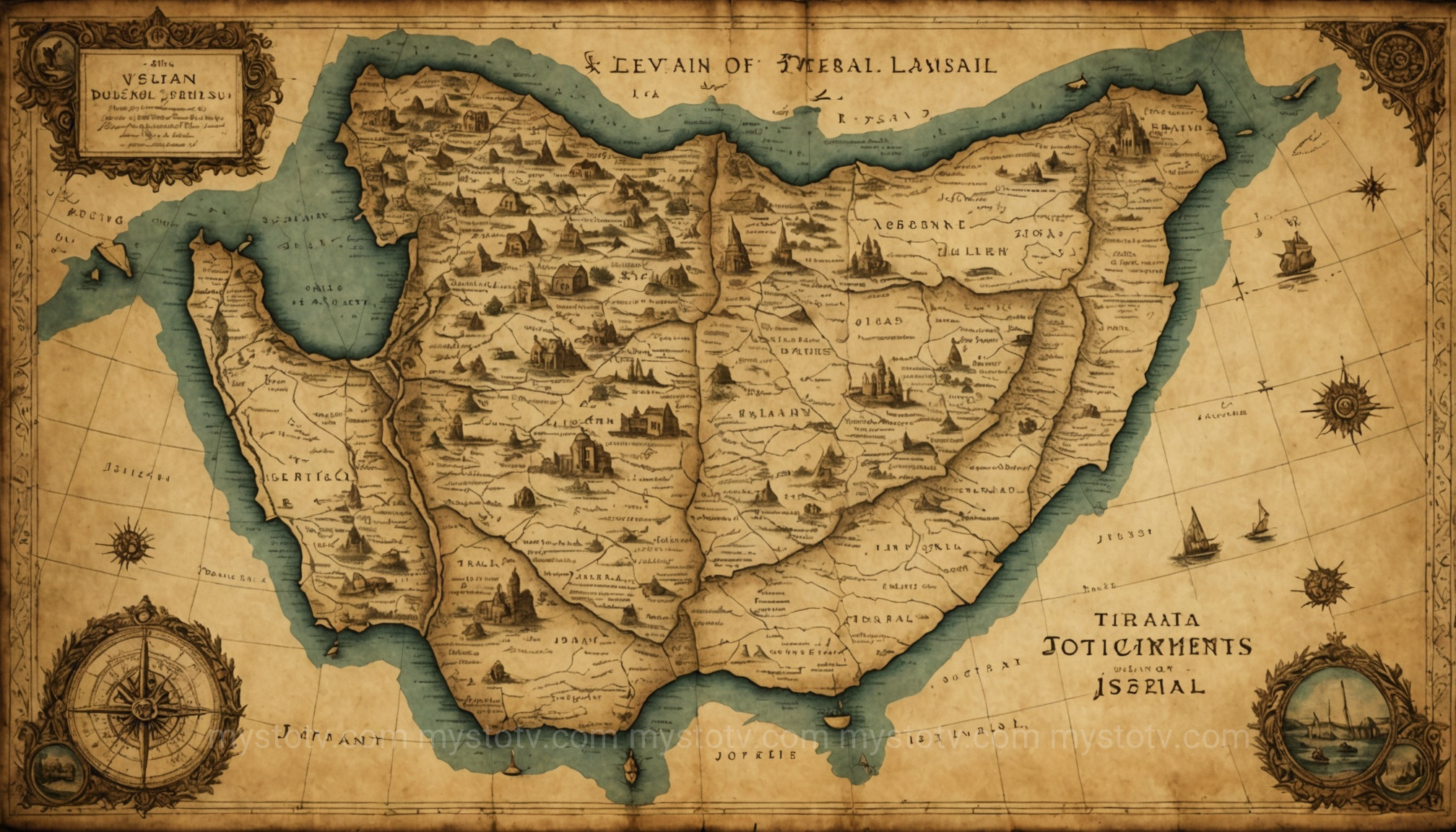
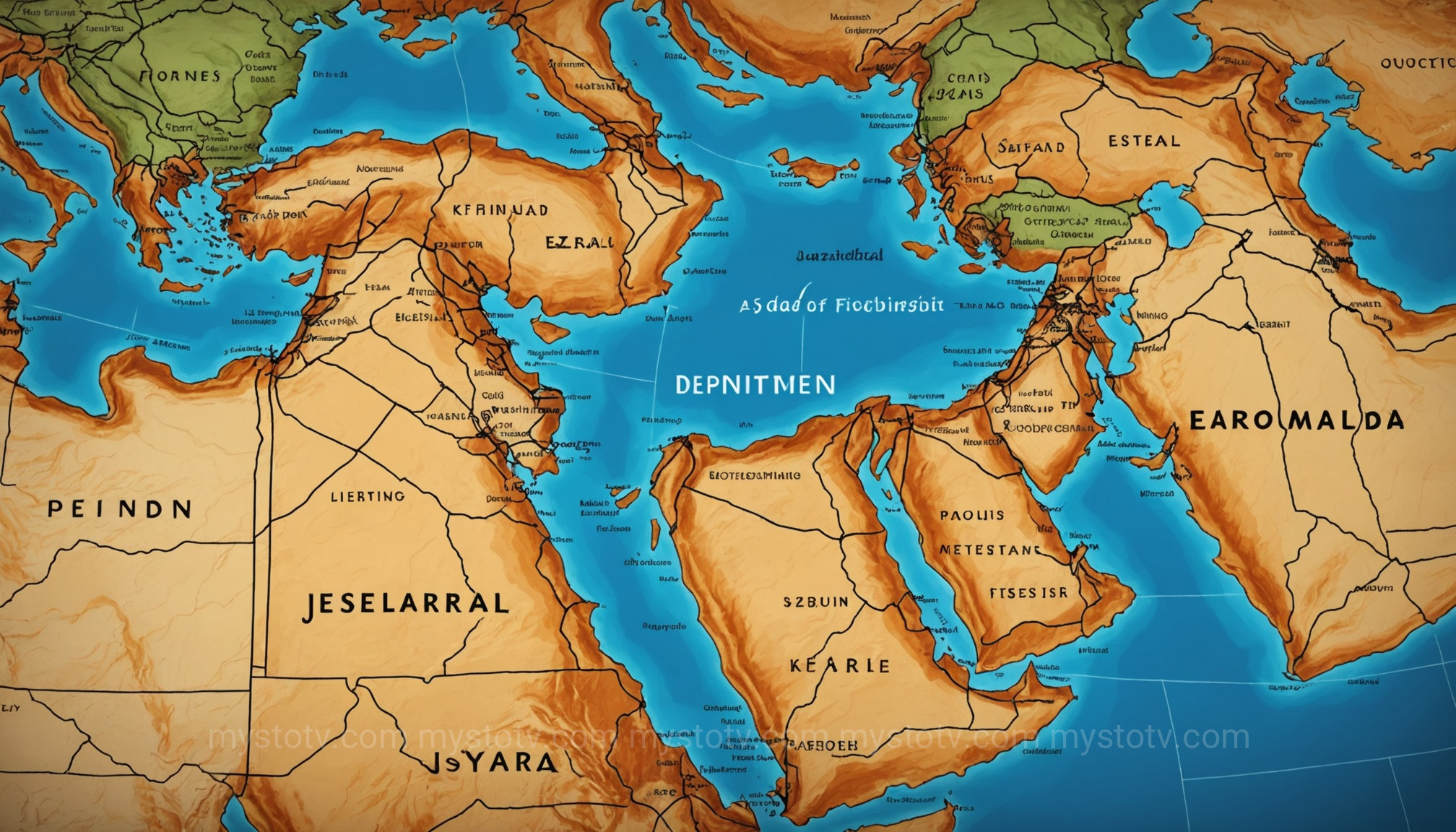
I remember sitting in a history class, years ago, trying to make sense of the Old Testament. The professor would talk about the Philistines on the coast, the Arameans to the north, and the Moabites to the east, and my mind would just swim. The names and places felt like abstract concepts floating in a void. It wasn't until I pulled up a simple historical atlas on my tablet that everything clicked into place. Suddenly, the conflicts, the trade routes, and the migrations made tangible sense. That experience taught me a vital lesson: to truly understand the epic narrative of ancient Israel, you need a good ancient israel map. It’s more than a drawing; it’s a time machine that reveals the very ground on which this pivotal history unfolded, and looking at one is the first step to visualizing its complex story.
Contents
- 1 The Challenge of Charting History: Why an Ancient Israel Map is Never Static
- 2 From Canaan to Conquest: The Earliest Ancient Israel Map of Tribal Allotments
- 3 The United Monarchy: A Unified Ancient Israel Map Under Saul, David, and Solomon
- 4 The Divided Kingdom: A Tale of Two Maps for Ancient Israel and Judah
- 5 Under the Shadow of Empires: How an Ancient Israel Map Looked During Exile and Return
- 6 The Hasmonean and Herodian Kingdoms: A Late-Period Ancient Israel Map
- 7 FAQ: Understanding Your Ancient Israel Map
- 8 Conclusion: Reading the Story in the Land
- 9 References
The Challenge of Charting History: Why an Ancient Israel Map is Never Static
One of the first misconceptions to clear up is the idea of a single, definitive ancient Israel map. Such a thing doesn't exist. The "Land of Israel" was a fluid concept, its borders expanding and contracting dramatically over the centuries, dictated by military conquests, political alliances, and the rise and fall of neighboring empires. Visualizing this history isn't about finding one correct map but about studying a series of maps, each a snapshot of a different era. The borders on a map from the time of King David look vastly different from one depicting the province of Judea under Roman rule.
This dynamic nature is what makes studying the cartography of the region so fascinating. The sources used to reconstruct these maps are themselves complex. Archaeologists rely on settlement patterns and fortifications, while historians cross-reference biblical texts with records from Egypt, Assyria, and Babylon. For example, the biblical description of Solomon's administrative districts in 1 Kings 4 can be correlated with archaeological finds, helping cartographers create a more accurate representation. Each map is therefore an interpretation—a scholarly reconstruction based on the best available evidence.
Analysis: The fluidity of the borders on any ancient Israel map directly reflects the region's geopolitical significance. Situated at a crossroads between Africa, Asia, and Europe, the land was a perpetual prize for larger empires. The "shifting borders" are a physical manifestation of the constant struggle for control, autonomy, and survival that defines so much of Israel's ancient history. A map from a period of independence shows expansive borders, while a map from a period of subjugation shows a smaller, truncated territory, often renamed by its conquerors. This visual evidence powerfully underscores the themes of covenant, exile, and return that are central to the biblical narrative.
From Canaan to Conquest: The Earliest Ancient Israel Map of Tribal Allotments

The story of an Israelite political entity begins after the Exodus, with the conquest of Canaan as described in the Book of Joshua. The resulting political landscape is one of the first and most foundational images we have. This version of an ancient israel map is not defined by a single, national border but by the territories assigned to the twelve tribes. Chapters 13 through 19 of Joshua provide a detailed, almost Domesday Book-like, account of these divisions.
This map shows a loose confederation of tribes, each with its own territory. Judah dominates the south, the powerful tribes of Ephraim and Manasseh occupy the central hill country, and tribes like Asher and Zebulun are situated in the north, near the Galilee. The tribes of Reuben, Gad, and half of Manasseh famously settled in the Transjordan, east of the Jordan River. Understanding this tribal map is crucial because these identities persisted for centuries, influencing regional politics long after a united monarchy was formed.
Analysis: This early map reveals a nation taking root. The borders are not clean lines but approximate regions, often defined by natural features like valleys and rivers, or by the cities within them. The allotment map is less a political statement to the outside world and more an internal organizational chart. It reflects the challenges of settlement, with biblical texts noting areas the Israelites failed to conquer, particularly the coastal plains held by the Philistines. This visual gap on the map—the unconquered Philistine pentapolis—sets the stage for the major conflicts that would dominate the era of the Judges and ultimately lead to the call for a king.
The United Monarchy: A Unified Ancient Israel Map Under Saul, David, and Solomon

The period of the United Monarchy (c. 1050–930 BCE) represents the zenith of ancient Israel's territorial power and influence. The map from this era is the most expansive it would ever be. Under King David, the Israelite army subdued surrounding enemies like the Philistines, Moabites, Ammonites, and Aramean kingdoms. The borders of the kingdom, as described in texts like 2 Samuel 8, stretched from the Sinai desert in the south to parts of modern-day Syria in the north.
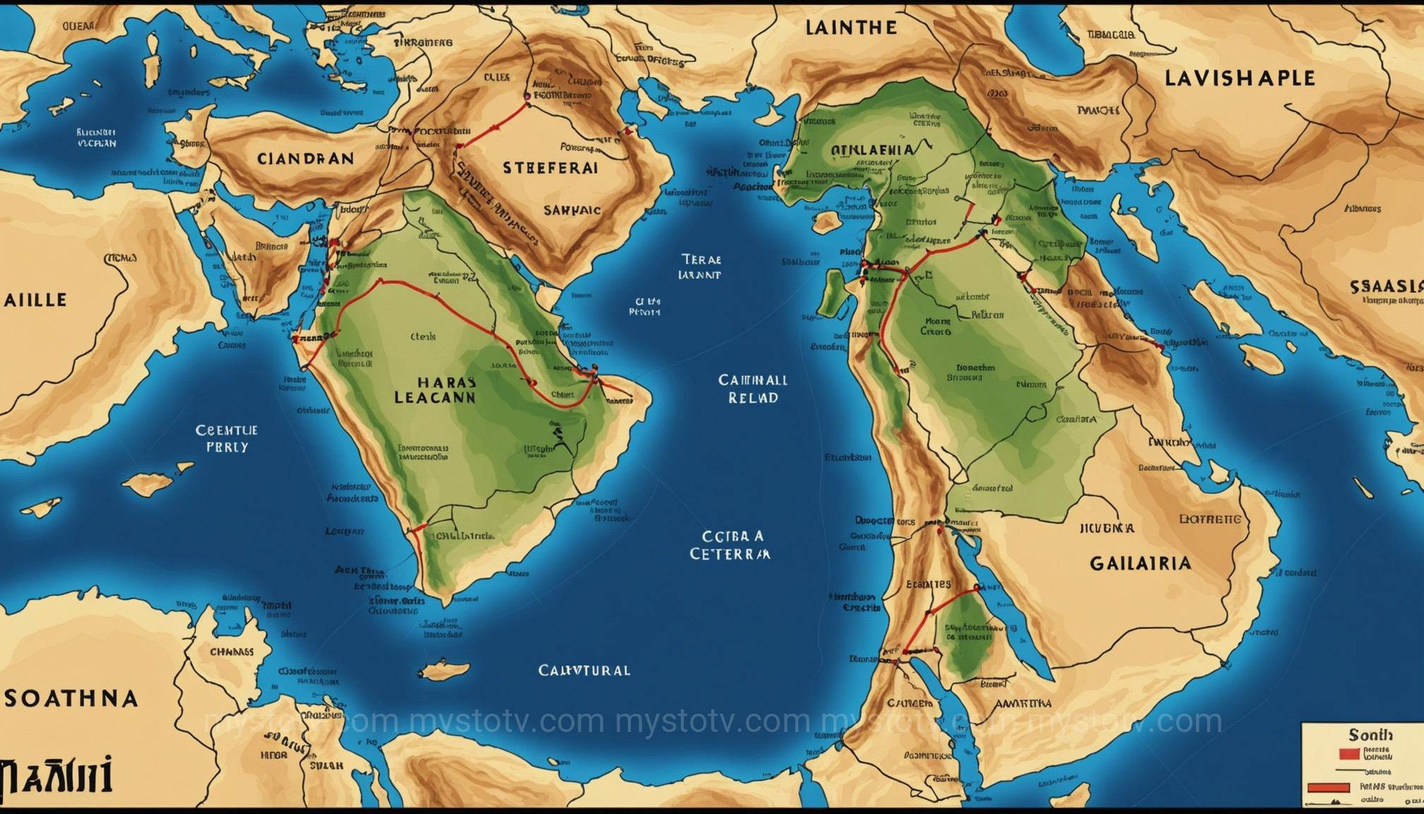
King Solomon's reign was characterized less by conquest and more by consolidation, trade, and diplomacy. An ancient Israel map from his time would be marked not just by borders but by major trade routes, administrative centers (like Megiddo, Hazor, and Gezer), and diplomatic ties. His kingdom controlled the vital Via Maris ("Way of the Sea") and the King's Highway, two of the most important trade arteries in the ancient world, bringing immense wealth to his capital in Jerusalem.
Analysis: The map of the United Monarchy is a map of power. Its size reflects a rare moment of regional dominance, made possible by the temporary weakness of the two great superpowers, Egypt and Mesopotamia. The borders tell a story of strategic military campaigns and savvy political alliances. The control over trade routes demonstrates a shift from a subsistence-based tribal society to a sophisticated state-level economy. However, this expansive map also contained the seeds of its own demise. Governing such a large and diverse territory created internal strains, and Solomon's ambitious building projects required heavy taxation and forced labor, particularly from the northern tribes, which sowed resentment that would later split the kingdom. This contrast becomes clear when viewing maps of the subsequent era.
The Divided Kingdom: A Tale of Two Maps for Ancient Israel and Judah

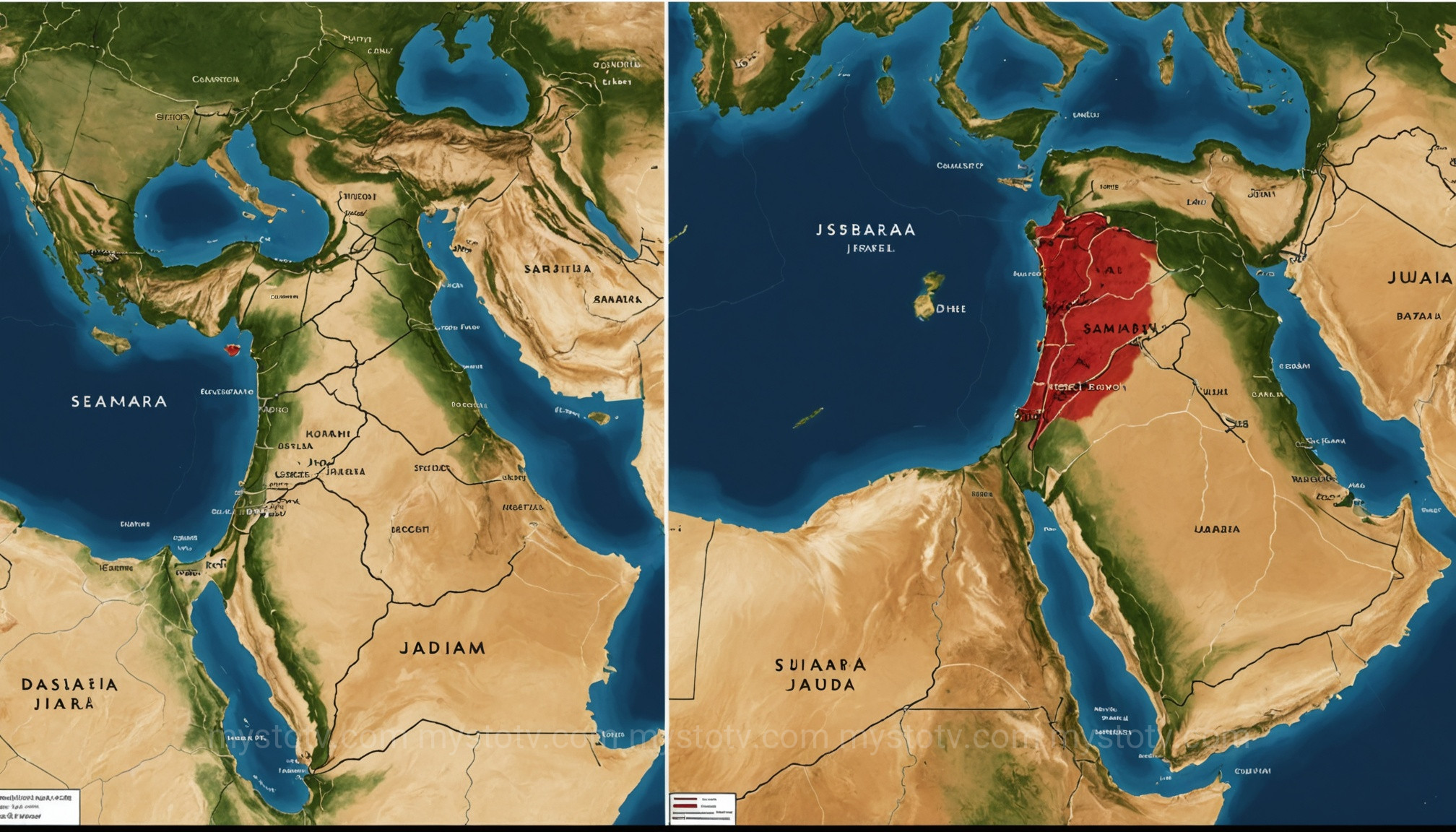
Following the death of Solomon around 930 BCE, the union fractured. The nation split into two, a reality that demands a completely different kind of ancient israel map. We now have two distinct political entities existing side-by-side: the northern Kingdom of Israel (sometimes called Samaria or Ephraim) and the southern Kingdom of Judah.
The Northern Kingdom of Israel on the Map
The northern kingdom was larger, more populous, and controlled more fertile land and lucrative trade routes. Its territory encompassed the regions of the Galilee, Samaria, and the Transjordan. However, it was also more politically unstable, with multiple dynastic changes, and geographically more vulnerable to invasion from the north, particularly from the Arameans of Damascus and the rising Assyrian Empire.
The Southern Kingdom of Judah on the Map
The southern kingdom of Judah was smaller, more isolated, and more homogenous. Its territory was centered on the tribal lands of Judah and Benjamin and was dominated by the Judean hill country. While poorer than its northern neighbor, its geography offered better natural defenses, and its political structure was far more stable, with the Davidic dynasty reigning from Jerusalem for its entire history. Its primary asset was the city of Jerusalem and its Temple, which provided a powerful center for its national and religious identity.
Analysis: Viewing a map of the Divided Kingdom is an exercise in understanding political and theological divergence. The border between Israel and Judah, often shifting and contested, became one of the most significant in the region's history. The two kingdoms were often rivals, sometimes allies, but their fates were intertwined. The northern kingdom's strategic location made it the first to fall to the Assyrian war machine in 722 BCE, its population deported and its territory absorbed into the Assyrian empire. Judah held on for over a century longer, a small, isolated state, until it too was conquered by the next superpower, the Babylonians, in 586 BCE. The two maps visually narrate two different strategies for survival, and ultimately, two different paths to destruction.
Under the Shadow of Empires: How an Ancient Israel Map Looked During Exile and Return
After the Assyrian and Babylonian conquests, the concept of an independent "ancient Israel map" disappears for centuries. The land becomes a cog in the machine of vast empires. During the Babylonian, Persian, and Hellenistic periods (c. 586-167 BCE), the map of the region shows a patchwork of provinces.
Under the Persian Empire, the area was part of the "Beyond the River" (Eber-Nari) satrapy. Jewish exiles were permitted to return and rebuild Jerusalem and the Temple, but they did so as subjects of Persia. The land they controlled, known as Yehud Medinata ("the province of Judah"), was a tiny fraction of the territory held by David and Solomon. A map of Persian-period Yehud shows a small, landlocked territory centered around Jerusalem, a stark visual representation of their diminished political status.
Following Alexander the Great's conquests, the land fell under the control of his successors, first the Ptolemies of Egypt and then the Seleucids of Syria. The names on the map changed again, reflecting Hellenistic influence. The region was a flashpoint between these two Greek kingdoms, and the maps of this era are defined by the ever-shifting border between their spheres of influence.
Analysis: The maps from this long period of foreign domination tell a story of cultural persistence in the absence of political sovereignty. The physical territory of Yehud was small, but the "mental map" of the Jewish people, preserved in their sacred texts, remembered the grander borders of the past. This tension between the humble reality of the present and the glorious memory of the past fueled a deep-seated desire for renewed independence. The map shows a people hemmed in on all sides, a pressure cooker that would eventually explode in the Maccabean Revolt.
The Hasmonean and Herodian Kingdoms: A Late-Period Ancient Israel Map

The final chapters of a truly Jewish-ruled ancient israel map come in the last two centuries BCE and the first century CE. The Maccabean Revolt (167 BCE) against the Seleucids led to a period of remarkable, if brief, independence under the Hasmonean dynasty. The Hasmonean rulers, over several generations, gradually expanded their territory, reconquering areas like Idumea (Edom), Samaria, and Galilee. For a short time, the map of the Hasmonean kingdom began to resemble that of the old United Monarchy.
This independence was short-lived. Internal strife and the arrival of a new superpower—Rome—brought an end to Hasmonean rule in 63 BCE. The Romans initially reorganized the territory, but eventually installed Herod the Great as a client king. Herod's kingdom was vast, and he was a prolific builder, but he ruled at the pleasure of Rome. Upon his death in 4 BCE, his kingdom was divided among his sons, creating the political map familiar from the New Testament: Judea and Samaria under one ruler, Galilee under another, and so on. This fragmented map ultimately became the Roman province of Iudaea, the final political configuration before the catastrophic Jewish-Roman Wars that led to the destruction of the Second Temple in 70 CE.
Analysis: This final set of maps is one of tragic irony. Just as the Hasmoneans seemed to restore the glorious borders of the past, they succumbed to the same internal divisions and external pressures that had plagued their ancestors. The map of Herod's kingdom is a map of compromise—a Jewish king ruling a Jewish kingdom, but entirely under the thumb of a foreign power. The subsequent division of his kingdom shows the classic Roman strategy of "divide and conquer," weakening local power structures to ensure easier control. This map, with its fractured territories under Roman oversight, provides the essential political and geographic context for the events of the New Testament and the final, tragic end of ancient Jewish sovereignty in the land.
FAQ: Understanding Your Ancient Israel Map
1. How accurate are the ancient Israel maps I see in study Bibles?
Maps in modern study Bibles are generally very good reconstructions based on the best current scholarship, combining biblical geography, archaeology, and historical sources. However, they are still interpretations. Borders, especially in early periods, were often fluid zones of control rather than precise lines. Always view them as excellent educational tools that represent a scholarly consensus at a point in time, not as a 100% perfect, satellite-quality depiction.
2. Why do different Bibles or atlases sometimes show different borders for the same period?
This usually comes down to scholarly disagreement on interpreting the available evidence. For example, the exact extent of David's conquests in Syria is a subject of academic debate, so one atlas might draw a more conservative border while another shows a more expansive one. These differences reflect the interpretive nature of historical cartography. Both maps are attempting to accurately represent the past based on the same core data, but they may weigh different pieces of evidence (e.g., biblical text vs. archaeological record) differently.
3. What are the best resources for finding reliable ancient Israel maps?
For serious study, academic biblical atlases are the gold standard. The Oxford Bible Atlas and the Holman Bible Atlas are two highly respected, accessible options that provide not just maps but also detailed explanations of the history and geography behind them. University websites for Near Eastern studies or archaeology departments also often have excellent online mapping resources and articles.
Conclusion: Reading the Story in the Land
To trace the shifting borders on an ancient israel map is to watch a four-thousand-year-long story unfold. From a loose tribal confederation to a powerful united kingdom, from a divided nation to a tiny imperial province, the land itself tells the story of triumph, tragedy, exile, and return. These maps are not static artifacts; they are dynamic documents that challenge the notion of a single, unchanging Holy Land. They reveal that the very ground beneath the feet of patriarchs, prophets, and kings was a stage of constant change. By visualizing this complex geography, we move beyond abstract names and dates and gain a tangible, grounded understanding of one of history's most enduring and influential narratives.
References
- Aharoni, Yohanan. The Land of the Bible: A Historical Geography. Westminster John Knox Press, 1979.
- Rainey, Anson F., and R. Steven Notley. The Sacred Bridge: Carta's Atlas of the Biblical World. Carta, The Israel Map and Publishing Company, Ltd., 2014.
- Schniedewind, William M. "The Rise of the United Monarchy in the Light of Recent Archaeology." Society of Biblical Literature Seminar Papers, 2008.
- Finkelstein, Israel, and Amihai Mazar. The Quest for the Historical Israel: Debating Archaeology and the History of Early Israel. Society of Biblical Literature, 2007.